")
")


 INDICE
Premessa
Piano espositivo
Finalità della mostra
Tematiche e criteri
I Georgofili, dibattiti e promozione
Le osservazioni di Giovanni Targioni Tozzetti
Condizione economica e attività manifatturiera tra XVIII e XIX secolo negli scritti di Attilio Zuccagni Orlandini
Geografia e storia del luoghi del Dizionario di Emanuele Repetti
Culture materiali sui territori della Provincia di Firenze
Il Primo Novocento 1900 -1950
Il Secondo Novecento 1950 - 2000
Uno sguardo al futuro
Contributi
La ceramica "popolare", la terracotta e l'evoluzione agricola della Toscana tra Sette e Ottocento - Franco Berti
La coltura della paglia di Signa - Roberto Lunardi, Maria Emirena Tozzi Bellini
Oggetti e Luoghi - Stefano Follesa
Elenco dei documenti e dei manufatti presenti nella mostra
Bibliografia
 INDICE
Presentazione
Piano Espositvo
Inquadramento storico
La diffusione del sapere scientifico, gli strumenti e l’osservazione della natura in Toscana
La cartografia in Toscana dai Lorena ai giorni nostri
Il ruolo dell’Accademia dei Georgofili nella gestione delle risorse ambientali
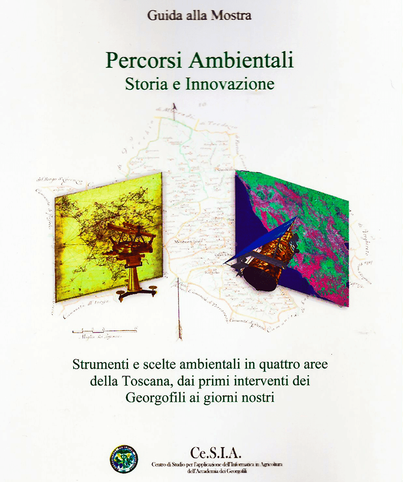
Percorsi ambientali:
…nell’Alto Mugello e nelle Foreste Casentinesi
…nelle colline del Chianti
…nella Maremma Grossetana
…nell’Arcipelago Toscano
Il percorso documentale, cartografico, strumentale e iconografico
Schede dei principali oggetti esposti
This book had been divided in 6 different chapters and 3 annexes. The first chapter tackles an introduction to BACCHUS project, providing information about the state-of the art, the 3 phases of BACCHUS project and the achieved objectives in each phase.
Chapter 2, dealing with Very High Resolution Data, includes a description of the most important data characteristics of commercial satellites like QuickBird, IKONOS, SPOT and FORMOSAT.
BACCHUS Software specifications are gathered in Chapter 3, collecting the User and System Requirements from a wide number of vineyard manager’s organisations. Divided in different categories, the Functional Requirements contains the translation of User’s and System requirements for an ideal BACCHUS system in a total number of 27 requests.
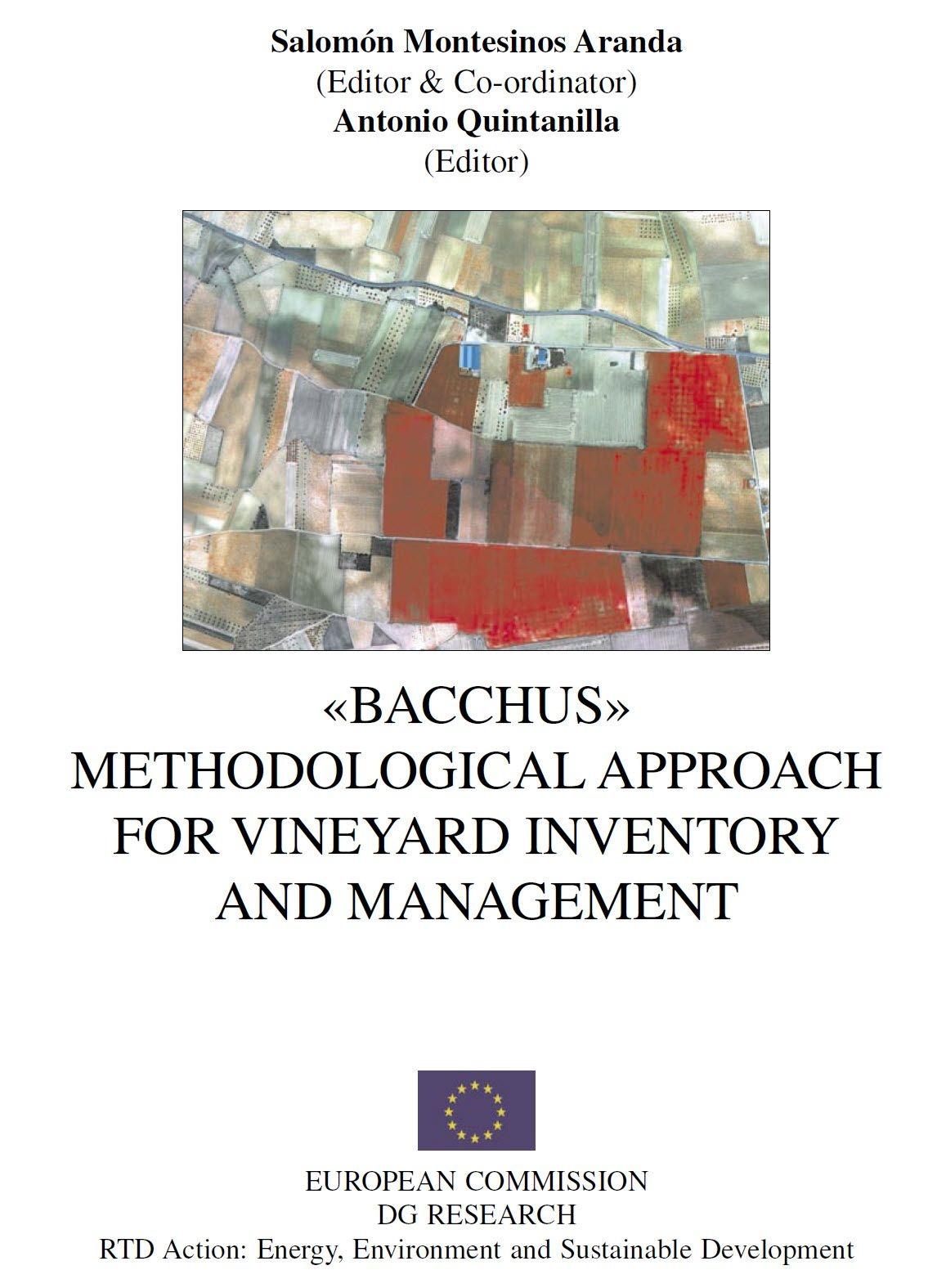
Chapter 4 presents BACCHUS textural and structural analysis carried out for automatic detection and characterisation of vineyard plots with satellite and aerial images.
Chapter 5 contains a general view of well-known Multitemporal and Multispectral techniques for crop mapping. Besides, it also focuses on approaches that have been specifically designed to vineyard inventory, dedicating a special section to test Multitemporal and Multispectral techniques in BACCHUS vineyard test sites.
Climate, soil, morphology and management factor are use for a preliminary land potential assessment in chapter 6. The analysis of these elements tries to improve wine qualities and best oenological practices at crop level. The output products are obtained by means of VHR images, GIS and agro-meteorological models.
To complete this book, 3 annexes had been included, corresponding to: i) BACCHUS fly campaigns with a multispectral camera over France, Italy, Spain and Portugal test sites; ii) BACCHUS Metadata description, elaborated to organised BACCHUS dataset according ISO (International Standard Organization) instructions, and finally iii) Colour Images annex.